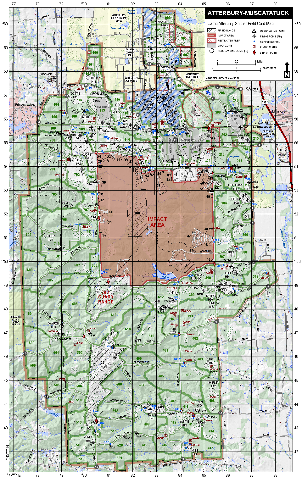
Camp Atterbury, established in 1942 on 40,000 acres of farms and small communities in Johnson, Bartholomew, and Brown Counties, has long served as a training hub for the
Indiana National Guard and military personnel from multiple branches. While the installation preserved large interior blocks of land from private development,
the surrounding counties have steadily transformed. Farmland has given way to suburban development in Johnson County, while Bartholomew County has experienced moderate growth along the I-65 and US Highway 31 corridors, and Brown County has seen low-density rural development.
These shifts shape the challenges of today: balancing military readiness, ecological conservation, and community resilience in the face of accelerating land use change and extreme weather.
Land use change around Camp Atterbury affects more than the surrounding landscape. It also influences how the installation can train, operate, and maintain ecological systems over time. These impacts emerge across two interconnected dimensions: training readiness and habitat integrity.
To explore these challenges, the following sections present in-depth analyses of three interconnected themes: encroachment through incompatible land use, priority species, and extreme weather. These analyses span historical patterns, current conditions, and future trajectories, with an optional executive summary provided for quick reference.
A high-level synthesis of encroachment, priority species, and extreme weather impacts.
Explore any topic below, or scroll to the navigation buttons at the bottom of the page to continue through the full walkthrough.
Large interior training areas within Camp Atterbury have remained relatively protected from private development, while land use patterns in the surrounding counties have shifted steadily over time. Johnson County has experienced increasing suburban expansion, Bartholomew County has seen growth concentrated along the I-65 and U.S. Highway 31 corridors, and Brown County has transitioned toward lower-density rural development. Together, these changes reduce landscape connectivity, increase fragmentation at the installation boundary, and elevate the potential for land use conflicts near training areas. As development continues outward, maintaining compatible land uses around the installation becomes increasingly complex.
Why this matters for Camp Atterbury: Encroachment at the boundary can constrain training flexibility, increase long-term management challenges, and limit opportunities to preserve compatible landscapes around the installation.
Explore Encroachment →Camp Atterbury supports large, intact blocks of forest, wetlands, and connected natural areas that provide important habitat for priority species. Outside the installation, land use change has altered habitat availability and connectivity across Johnson, Bartholomew, and Brown Counties. Suburban growth, transportation infrastructure, and dispersed rural development have increased fragmentation, which can isolate populations and reduce long-term habitat viability. As a result, areas of high ecological value do not always align with existing protected lands or current management boundaries.
Why this matters for Camp Atterbury: Sustaining priority species depends on conservation strategies that extend beyond the installation boundary and account for how surrounding land use patterns influence habitat persistence and connectivity. These efforts also support the long-term sustainability of training lands by maintaining compatible landscapes, reducing regulatory constraints, and helping ensure that military readiness and conservation goals can be met together.
Explore Priority Species →Across Camp Atterbury and the surrounding counties, extreme weather, particularly heavy rainfall and prolonged heat, is affecting training areas, access routes, and nearby communities. Intense rainfall can limit site access, increase flooding in low-lying training zones, and strain drainage systems shaped by surrounding land use. Extended heat events place added stress on personnel, ecosystems, and infrastructure, increasing operational challenges. Together, these pressures show how extreme weather, interacting with land use change, influences readiness and long-term resilience across the landscape.
Why this matters for Camp Atterbury: Extreme weather can disrupt training schedules, limit access to training areas, and damage infrastructure. Planning for these conditions helps reduce downtime, support recovery, and sustain long-term mission readiness.
Explore Extreme Weather →